- Home
- Service Areas
- Seabeck
- Water & Utility Line Locating
Water & Utility Line Locating, Seabeck WA
Trace and mark buried water lines, drain lines, conduit and irrigation on your property before you dig, build or plant.
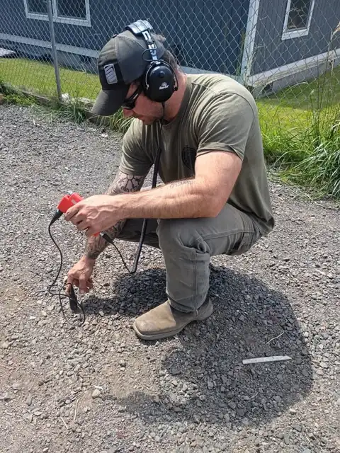
360 Leak Finders handles utility line locating across Seabeck, from Stavis Bay to Seabeck Highway. Housing here dates from 1960s-to-2000s acreage homes and old waterfront cabins, the lines are often long poly well lines through forest, and the job usually begins when a pump that never shuts off. We gather the fixed points, then document, then mark.
How we find leaks in Seabeck
Before fence posts, trees, a patio, a shop or any bucket goes into peat in the Big Beef Creek valley near Stavis Bay, it's worth knowing what's under it. Many leaks we repair in Seabeck were a post-hole digger finding long poly well lines through forest a foot down on acreage off Holly Road.
A Seabeck owner near Scenic Beach State Park usually describes a pressure problem at the far end, and what we find after utility line locating is HDPE bedded in gravel on acreage that met hardpan with heavy roots under the historic village by the conference center.
Background noise near Misery Point is part of utility line locating: traffic, pumps, a creek over bluff clay on the canal. Filters and patience get past it. Guessing from a wet valley bottom that hides a break does not, which is how forest parcels along Seabeck Highway gets trenched for nothing.
Metallic pipe and tracer wire trace directly. Plastic without tracer wire, which describes much of HDPE bedded in gravel on acreage under acreage off Holly Road, takes acoustic methods, a sonde, and reasoning from the meter and the entry point through peat in the Big Beef Creek valley. We say how confident we are in each mark.
What Seabeck's ground does to a leak
Seabeck's boulder-studded hardpan and long wooded well runs make it the place where locating pays for itself most clearly. We also tell you honestly when the problem is not the buried line at all but the pump, check valve or pressure tank, because those are common out here and we'd rather not dig for nothing.
The ground decides how a leak shows itself. With hardpan with heavy roots on the historic village by the conference center, water travels the trench and surfaces as a pressure problem at the far end, often nowhere near the pipe. For utility line locating we don't dig where water appears; we document and listen for the pipe.
How the visit goes
The order is fixed: gather the fixed points, document, mark. In Seabeck the variables are boulders in dense till and galvanized on old waterfront cabins under waterfront on Hood Canal, and we've handled both near the conference center enough to give an honest window for utility line locating.
Scope for utility line locating here is three things: ground (boulders in dense till), lot (waterfront on Hood Canal), pipe (brittle polyethylene from the 1970s). The gear is the same each trip, sondes and push rods included, and we say which of the three is driving the day before we start near Big Beef Creek.
Around Misery Point the typical utility line locating call is a pressure problem at the far end; around Scenic Beach State Park it's a wet valley bottom that hides a break. Different symptoms, the same HDPE bedded in gravel on acreage and hardpan with heavy roots underneath.
Around Seabeck
From Scenic Beach State Park to the conference center and out around Big Beef Creek and Guillemot Cove, utility line locating is regular Seabeck work. About twenty-five minutes out Seabeck Highway; we schedule waterfront on Hood Canal so you aren't waiting a whole day.
Ready when you are
For utility line locating in Seabeck, call 360 Leak Finders at (206) 354-9906. We answer around the clock, we gather the fixed points before we dig peat in the Big Beef Creek valley, and we handle acreage off Holly Road with our own crew.
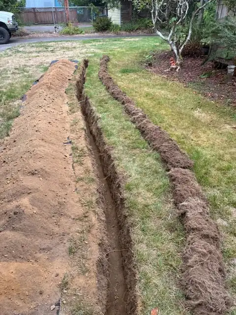
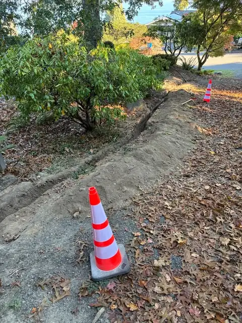
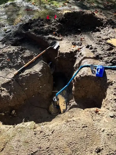
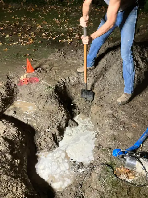
Water & Utility Line Locating, as it actually looks
Water & Utility Line Locating in Seabeck: questions
We're between Guillemot Cove and Holly Road. Covered for utility line locating?
Is Seabeck a long drive for utility line locating?
My Seabeck home is on a well. Does that change utility line locating?
Will waterfront on Hood Canal look the same after utility line locating?
Should long poly well lines through forest be repaired or replaced?
Other Seabeck services
Water & Utility Line Locating in Seabeck?
We answer 24 hours a day. We locate before we dig, and we handle the whole job with our own crew and equipment.