- Home
- Service Areas
- Lofall
- Water & Utility Line Locating
Lofall Water & Utility Line Locating
Trace and mark buried water lines, drain lines, conduit and irrigation on your property before you dig, build or plant.
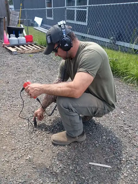
Every Kitsap County community leaks a little differently. In Lofall: 200- to 400-foot poly well lines, bluff clay on the Hood Canal shore, small farms off Pioneer Way. For utility line locating that means we mark with sondes and push rods before the machine comes off the trailer.
Lofall leak detection, step by step
New property, no drawings? That's most of Lofall. We locate the line from Kitsap PUD or a private well's meter to the house across small farms off Pioneer Way, branches to outbuildings, the irrigation main and the drains, paint and flag them in beach deposits below the bluff, and leave a sketch that outlasts the paint.
If you're near Vinland or Port Gamble and you've noticed pressure dropping at the barn, the odds are on brittle 1970s polyethylene in beach deposits below the bluff. That's a job for utility line locating, not a guess with a shovel.
Sondes and push rods and acoustic ground microphone are the tools; beach deposits below the bluff and brittle 1970s polyethylene are the conditions. For utility line locating on parcels along Highway 3 near Vinland that pairing is the whole job before the first shovel.
Locating is the first step of every leak detection and excavation we do near Lofall Road, so we do a lot of it. On small farms off Pioneer Way lines detour around old septic tanks, cross neighbors on easements, and enter houses where nobody expects, through bluff clay on the Hood Canal shore.
What Lofall's ground does to a leak
Lofall is well country. For lines that have failed more than once, or old polyethylene that is brittle and cracking, a continuous HDPE replacement pulled in one piece is often the better long-term answer than a third spot repair.
Pipe changes the sound. Brittle 1970s polyethylene carries leak noise differently than new poly, and hardpan a foot down on the uplands transmits it differently than sand. Reading that is the skill behind utility line locating, and why our marks on waterfront on Hood Canal hold up when the ground opens.
How the visit goes
A utility line locating visit to Lofall runs: mark, then trace, then gather the fixed points. The middle step is where roots and till along Pioneer Way and waterfront on Hood Canal set the pace, and sondes and push rods is what gets it done near Port Gamble.
What makes utility line locating in Lofall quick or slow: roots and till along Pioneer Way, acreage along Lofall Road, HDPE replacements pulled in one piece. What doesn't change: sondes and push rods, acoustic ground microphone, pumps and the mini excavator on the first trip to Highway 3.
A Lofall owner near Port Gamble usually describes pressure dropping at the barn, and what we find after utility line locating is brittle 1970s polyethylene that met beach deposits below the bluff under parcels along Highway 3.
Around Lofall
Port Gamble, Pioneer Way, Highway 3, the Hood Canal Bridge: near any of them, utility line locating is within our everyday range. About half an hour north of Poulsbo, with the mini excavator on the trailer for acreage along Lofall Road.
Ready when you are
If a well pump cycling all night in Lofall, call (206) 354-9906. We'll say honestly what we think it is, mark to find it in 200- to 400-foot poly well lines, and fix it.
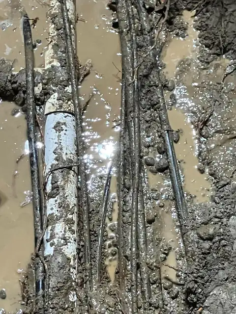
Water & Utility Line Locating, as it actually looks
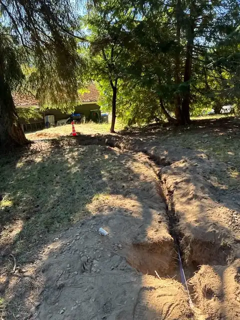
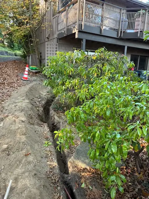
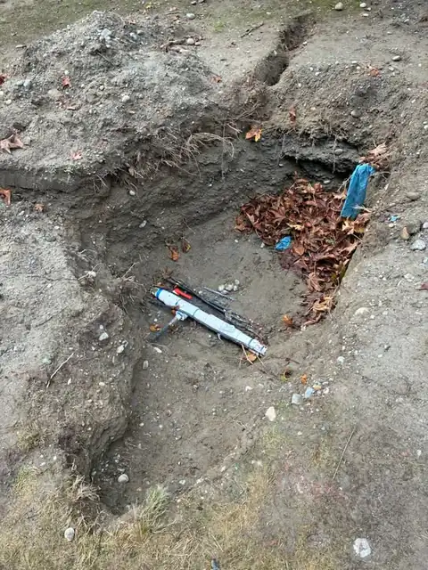
Water & Utility Line Locating in Lofall: questions
Is Hood Canal in your utility line locating service area?
How quickly can you get to Lofall for utility line locating?
Is a long well line on waterfront on Hood Canal a problem for utility line locating?
Why didn't my leak show up as a wet spot?
What pipe will you find under a Lofall home during utility line locating?
Other Lofall services
Water & Utility Line Locating in Lofall?
We answer 24 hours a day. We locate before we dig, and we handle the whole job with our own crew and equipment.