- Home
- Commercial
- Property-Wide Utility Locating & Mapping
Property-Wide Utility Locating & Mapping
Tracing and documenting the private water mains, irrigation, drains, fire lines and other buried utilities on a commercial or multi-family site, so the next project or emergency starts with a drawing.
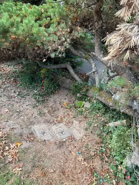
Ask the manager of a forty-year-old condominium complex or retail center where the private water main runs and the honest answer is usually a shrug. The site was built, the lines went in, the drawings went into a box, and three ownerships later nobody has them. Every emergency starts with a guess, every new project risks hitting something, and every reserve study has a line item for the water system with no idea what the system is.
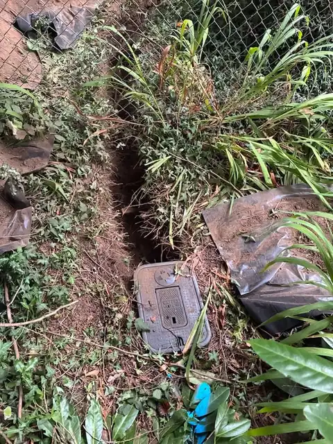
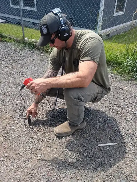
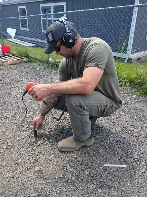
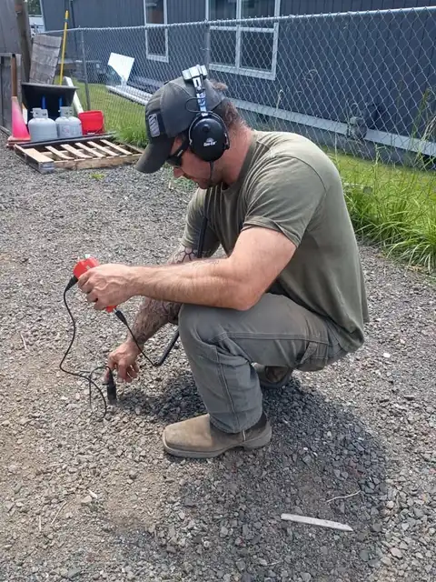
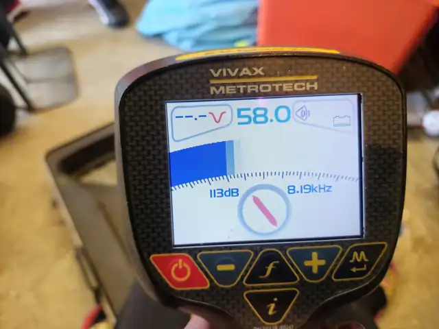
A property-wide locate fixes that once. We trace the private water mains, branches, valves and building shutoffs with a pipe and cable locator; the irrigation mainline and valve boxes; the buried storm, downspout and footing drains; the underground fire service main from the street to the riser; and any other private lines the site has, using sondes and acoustic methods on plastic pipe without tracer wire. Everything is painted and flagged on the ground and then drawn: a site plan with the lines, the valves, the access points and depth estimates, with photos of each valve and shutoff.
That drawing is what the manager hands to the next contractor, the fire inspector, the landscaper and the board. It's what we use on the next emergency to find the break in minutes instead of hours. And it's the first page of a water system condition assessment for the reserve study, because once the system is mapped, its material and age can be assessed where the pipe is exposed at valves and entries.
When a property needs this
- A property with no drawings of its private utilities
- A site about to start a renovation, paving or landscape project
- A reserve study that needs a water system assessment
- A new owner or manager taking over a site
- A property with recurring 'where is the shutoff' emergencies
How the job runs
- Gather. Any existing drawings, permits, utility records and the knowledge of long-time staff.
- Trace. Water mains, branches and valves; irrigation; drains; fire main; other private lines. Locator, sondes and acoustic methods as the pipe requires.
- Mark. Paint and flags on the ground with depth estimates where available.
- Draw. A site plan with every traced line, valve, shutoff and access point, with photos of each.
- Assess. Material and condition noted where the pipe is visible at valves and entries, for the reserve study.
What the owner or board receives
- Marked lines on the ground
- Site plan of private utilities with valves and access points
- Photo record of every valve and shutoff
- Depth estimates
- Condition notes for the water system
What shapes the scope
- Size of the site and number of buildings
- Whether lines are metallic or have tracer wire
- Access to valves, boxes and entries
- Existing records
Commercial work, as it actually looks
Property-Wide Utility Locating & Mapping across the peninsula
Bremerton
The shipyard city's older galvanized lines fail quietly and show up as a wet lawn or a water bill nobody can explain.
Silverdale
The 1980s and 90s subdivision boom around the mall left thousands of polybutylene service lines that are now failing on schedule.
Port Orchard
The county seat's hillside lots and clay soils turn small leaks into slope problems, and long rural runs hide breaks for months.
Poulsbo
Little Norway's mix of century-old downtown lines and fast-draining bay-side outwash means leaks hide well and fail suddenly.
Bainbridge Island
Clay soils and 500-foot driveways make island leaks slow to surface and expensive to guess at, which is why we locate before we dig.
Kingston
Ferry-town acreage with long wooded service runs where a leak can hide under hardpan for an entire winter.
Keyport
A century-old Navy village with short lots, old lines and shoreline clay that keeps everything damp.
Tracyton
Bluff-side lots over Dyes Inlet where seeps and springs make it easy to mistake groundwater for a leak and vice versa.
Hansville
Beach cabins at the tip of the peninsula with shallow lines, high water tables and a long drive for anyone who isn't already in Kitsap.
Indianola
A century-old summer colony where shared lines, easements and bluff clay make leaks a neighborhood puzzle.
Suquamish
Two utilities, mixed-era housing and Agate Pass shoreline clay in the heart of the Port Madison reservation.
Manchester
Rich Passage waterfront lots where the service line runs downhill and every leak finds the beach.
Enetai
East Bremerton's bluff-side neighborhood where mid-century copper lines fail on slopes that drain toward the bay.
Lofall
Rural acreage between Poulsbo and the Hood Canal Bridge where well lines run hundreds of feet through hardpan.
Olalla
Well country at the south end of Kitsap where a leaking line shows up as a pump that won't shut off.
Seabeck
Hood Canal forest parcels where boulders, hardpan and long well lines make guessing at a leak an expensive mistake.
East Port Orchard
South Kitsap's 1970s and 80s subdivisions where copper and poly lines are reaching the end of their run.
Rollingbay
The northeast corner of Bainbridge where clay slopes, long drives and small community systems keep leaks hidden for seasons.
Port Townsend
A Victorian seaport where 1890s service lines sit under historic sidewalks and the gravity pipeline from the Quilcene delivers the water.
Property-Wide Utility Locating & Mapping: questions
How accurate is the drawing?
Something underground isn't right?
We answer 24 hours a day. We locate before we dig, and we handle the whole job with our own crew and equipment.